Long Island (Maryland)
Topic: Earth
 From HandWiki - Reading time: 1 min
This article relies too much on references to primary sources. (June 2020) (Learn how and when to remove this template message) |
Short description: Former American island
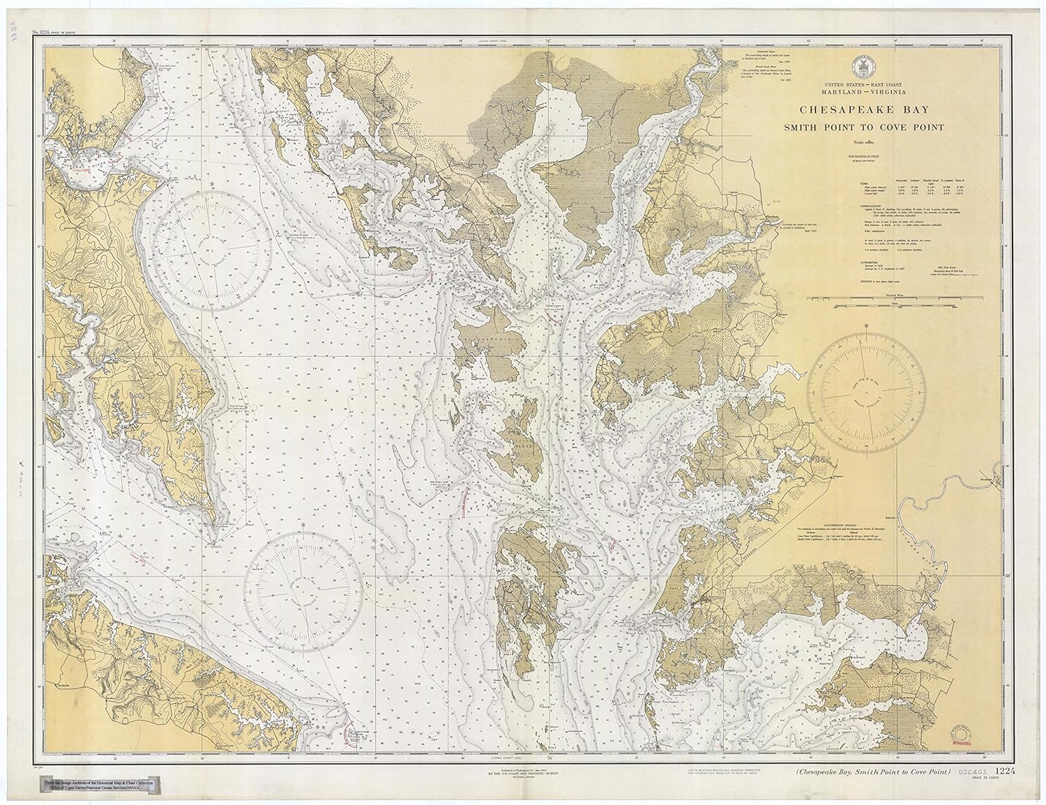
 Map of Long Island and Holland Island from a 1927 Topographic Map | |
| Geography | |
|---|---|
| Location | Chesapeake Bay |
| Coordinates | 38°08'11.8"N 76°05'57.6"W |
| Administration | |
United States | |
| State | Maryland |
| Demographics | |
| Population | 0 |
Long Island was an island located in Chesapeake Bay, northwest of another former island, Holland Island. The island was shown on maps up until near 1934,[1] when erosion of nearby islands combined with the rising sea levels caused it to be submerged.
References
This article needs additional or more specific categories. (June 2020) |
 |
Licensed under CC BY-SA 3.0 | Source: https://handwiki.org/wiki/Earth:Long_Island_(Maryland)61 views | Status: cached on July 09 2026 00:36:41↧ Download this article as ZWI file
 EncycloReader
is supported by the
EncycloReader
is supported by the