Mount Pendleton (Alaska)
Topic: Earth
 From HandWiki - Reading time: 1 min
| Mount Pendleton | |
|---|---|
| Highest point | |
| Elevation | 7,605 ft (2,318 m) [1] |
| Coordinates | [ ⚑ ] : 63°24′45″N 149°42′48″W / 63.4125°N 149.71333°W [2] |
| Geography | |
| Location | Denali Borough, Alaska, United States |
| Parent range | Alaska Range |
| Topo map | USGS Healey B-6 |
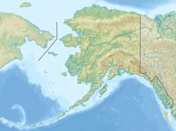
Mount Pendleton is a 7,605-foot (2,318 m) mountain in the Alaska Range, in Denali National Park and Preserve, to the east-northeast of Denali. It lies above the Polychrome Glaciers. Mount Pendleton was named in 1961 by the U.S. Geological Survey for topographer Thomas Percy Pendleton.[2]
See also
- Mountain peaks of Alaska
References
Licensed under CC BY-SA 3.0 | Source: https://handwiki.org/wiki/Earth:Mount_Pendleton_(Alaska)14 views | ↧ Download this article as ZWI file
 KSF
KSF
