Astei
 From Wikipedia - Reading time: 4 min
Astei
Астей | |
|---|---|
Village | |
 | |
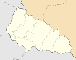 Astei Location of Astei  Astei Astei (Ukraine) | |
| Coordinates: 48°10′08″N 22°35′51″E / 48.16889°N 22.59750°E | |
| Country | |
| Province | Zakarpattia Oblast |
| District | Berehove Raion |
| Hromada | Velyka Bihan rural hromada |
| Elevation | 113 m (371 ft) |
| Population (2001) | |
| • Total | 677 |
| Time zone | UTC+2 (EET) |
| • Summer (DST) | UTC+3 (EEST) |
| Postal code | 90250 |
| Area code | +380 3141 |
| Climate | Dfa |
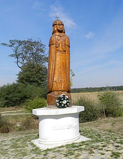
Astei (Ukrainian: Астей, Hungarian: Asztély) is a village (a selo) in the Berehove Raion (district) of Zakarpattia Oblast in western Ukraine. It is located 5 km (3.1 mi) from the district center Berehove and is located on Highway M24. In the immediate vicinity of the village is the Luzhanka border checkpoint on the border with Hungary.
History[edit]
Astei was first mentioned in 1492. From the 14th to 17th centuries, the village was owned by various feudal lords. In 1566 the village, was subjected to a devastating raid by the Crimean Tatars. In 1946, by decree of the Soviet Ukrainian authorities, the village of Astei was renamed Luzhanka. In 1991, its historic name was restored.[2]
References[edit]
- ^ "Astei (Zakarpattia Oblast, Berehove Raion)". weather.in.ua. Retrieved 4 May 2022.
- ^ "Про відновлення деяким населеним пунктам Берегівського району Закарпатської області колишніх найменувань". zakon.rada.gov.ua (in Ukrainian). Retrieved 18 May 2020.
This article about a location in Zakarpattia Oblast is a stub. You can help Wikipedia by expanding it. |
Original source: https://en.wikipedia.org/wiki/Astei
Status: article is cached
 EncycloReader
is supported by the
EncycloReader
is supported by the