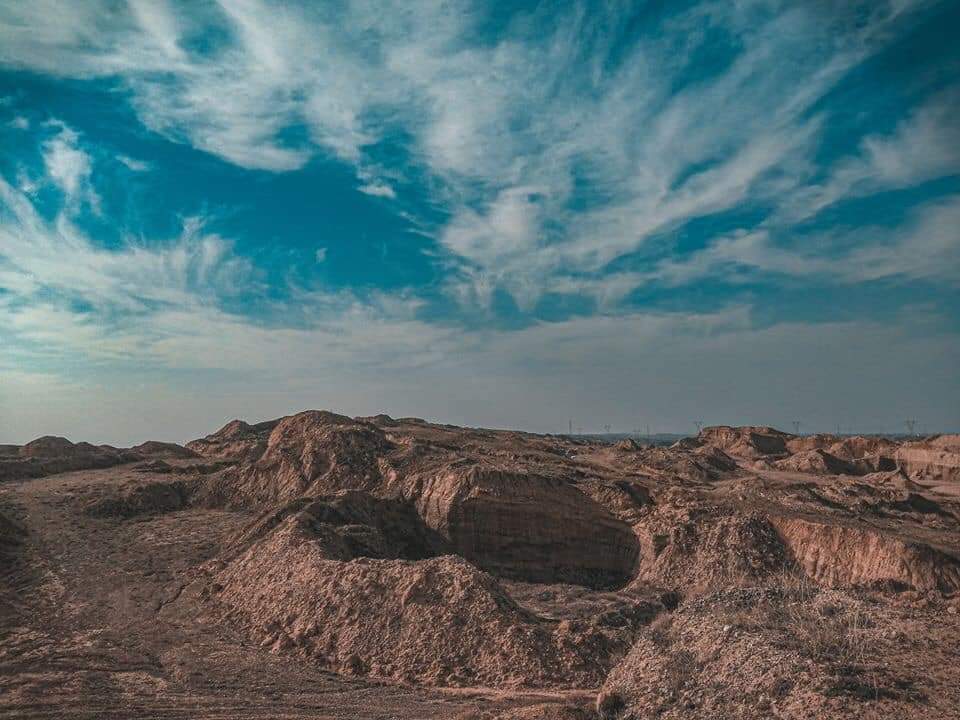
List of Mountains and Hills in Kirkuk
 From Wikipedia - Reading time: 3 min
these are the mountains and hills of Kirkuk Governorate While there is no universally accepted term for when a hills becomes a mountain although the most accepted term is the one used by the United Kingdom and Ireland, which a mountain is usually defined as any summit at least 2,000 feet (610 m) high[1]
Although the highest peak in Kirkuk has no name its usually Called Mavi Dağ by the people living near it 35°47′01″N 44°39′32″E / 35.78361°N 44.65889°E sitting at 1,138.3 Meters
 Hamrin mountain Range ls southern Kirkuk near Saladin provincial border
Hills[edit]
==es=={| class="wikitable sortable" style="text-align:right;" !Hill !Peak |- |Jabal Chilman |592 m (prom: 45 m) |- |جەوەڵبۆر |548 m (prom: 7 m) |- |جەوەڵ قەشقە |472 m (prom: 42 m) |- |Jabal Qashqah |470 m (prom: 5 m) |- |زنجیرەی گردەکانی کانی دۆمەڵان |461 m (prom: 34 m) |- |Arbali |457 m (prom: 5 m) |- |Dawah Lan |405 m (prom: 73 m)
|- |کەندەڵانە سوور
|392 m[2] |}
Mountains[edit]
There are 158 named mountains in Kirkuk. Jabal Khal is the highest named point.[3] The most prominent mountain is Jabal Batiwah.
References[edit]
- ^ "Survey turns hill into a mountain". 2008-09-19. Retrieved 2024-01-18.
- ^ PeakVisor. "Kirkuk Mountains". PeakVisor. Retrieved 2024-01-18.
- ^ "Jabal Khāl Khāl mountain, At Taʼmīm, Iraq". iq.geoview.info. Retrieved 2024-01-18.
This article has not been added to any content categories. Please help out by adding categories to it so that it can be listed with similar articles. (January 2024) |
 KSF
KSF