Sainte-Thérèse Island (Richelieu River)
 From Wikipedia - Reading time: 5 min
Native name: Île Sainte-Thérèse | |
|---|---|
| Geography | |
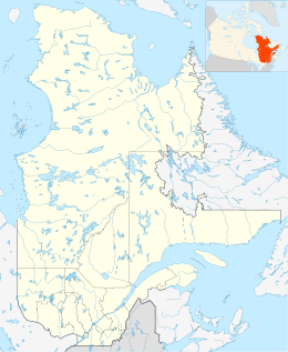
| Location | Saint-Jean-sur-Richelieu, Le Haut-Richelieu Regional County Municipality, Montérégie, Québec, Canada |
| Coordinates | 45°21′51″N 73°15′35″W / 45.36417°N 73.25972°W |
| Length | 3.9 km (2.42 mi) |
| Width | 1.0 km (0.62 mi) |
| Administration | |
Canada | |
| Additional information | |
| Accessible by two bridges. | |
L île Sainte-Thérèse (English: Sainte-Thérèse Island) is a river island of the Richelieu River. It belongs to the territory of the municipality of Saint-Jean-sur-Richelieu, in the Saint-Luc sector, in the Le Haut-Richelieu Regional County Municipality, in the region administrative Montérégie, in the south of province of Quebec, in Canada.
Geography
[edit]Sainte-Thérèse Island is located 8 kilometres (5.0 mi) upstream of the Chambly Basin and 37.4 kilometres (23.2 mi) north of the border between Canada and the United States.
Very elongated in shape, Sainte-Thérèse Island measures approximately 3.9 kilometres (2.4 mi) in length and a maximum width of 1.0 kilometre (0.62 mi). It is connected to the left bank of the Richelieu River by two road bridges spanning the canal (via the pier forming the right bank of the Chambly Canal). The Baillargeon Street, which runs along the west shore of the island, is the island's main road.
The development of the Chambly Canal required the construction of a jetty in order to cut this channel at the height of the northwest part of the island. The rue Sainte-Thérèse which passes on this pier stretches for 0.8 kilometres (0.50 mi) to the north to join the bridge leading to Île Sainte-Marie located downstream.[1]
This island faces on the west side to the rivière des Iroquois which flows into the channel passing to the west of the island.
Toponymy
[edit]Île Sainte-Thérèse takes its name from that of Fort Sainte Thérèse, built in 1665 and now disappeared.[2] In all likelihood, the fort would have been located opposite the small Sainte-Marie Island, downstream from Sainte-Thérèse Island.
The toponym "Île Sainte-Thérèse" was formalized on December 5, 1968 at the Place Names Bank of the Commission de toponymie du Québec.[3]
Occupation
[edit]The Sainte-Thérèse island, once agricultural, is now largely residential. This island is entirely built of private residences. A community center is set up in the northern part of the island.[1]
 KSF
KSF