Sajmište, Novi Sad
 From Wikipedia - Reading time: 8 min
This article includes a list of references, related reading, or external links, but its sources remain unclear because it lacks inline citations. (September 2014) |
Sajmište
Сајмиште | |
|---|---|
 Sajmište, Liberation boulevard | |
 | |
| Country | |
| Province | |
| District | South Bačka |
| Municipality | |
| Time zone | UTC+1 (CET) |
| • Summer (DST) | UTC+2 (CEST) |
| Area code | +381(0)21 |
| Car plates | NS |
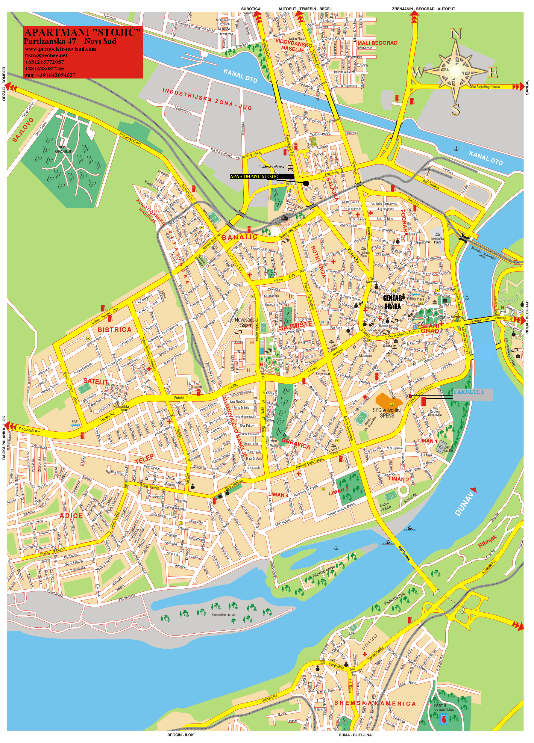
Sajmište (Serbian: Сајмиште) is an urban neighborhood of the city of Novi Sad, Serbia.
Borders
[edit]
The southern border of Sajmište is Futoška ulica (Futoška Street), the eastern border is Bulevar oslobođenja (Liberation Boulevard), the northern borders are Bulevar kralja Petra I (King Petar I Boulevard) and Ulica Braće Popović (Braće Popović Street), the north-western border is Ulica Branka Bajića (Branko Bajić Street), and the western border is a section of Subotički bulevar (Subotica Boulevard).
Neighbouring settlements
[edit]The neighbouring settlements are: Novo Naselje in the west, Detelinara in the north-west, Banatić in the north, Rotkvarija in the east, and Grbavica and Adamovićevo Naselje in the south.
Features
[edit]The important institutions located in Sajmište are: Provincial Hospital (Pokrajinska bolnica), Medical Faculty (Medicinski Fakultet) and Novi Sad Fair (Novosadski sajam).
Gallery
[edit]This section contains an unencyclopedic or excessive gallery of images. |
-
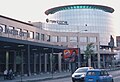 Sajmište, Master Center
 -
 Sajmište, Master Center
 -
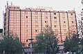 Sajmište, Hotel Park
 -
 Meetinghouse of the Church of Jesus Christ of Latter-day Saints in Sajmište
 -
 Sajmište, Liberation boulevard
 -
 Sajmište, King Petar I Boulevard
 -
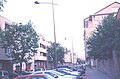
 Sajmište, Hajduk Veljkova Street
 -
 Panoramic view of Sajmište
 -
 Sajmište, Novosadskog sajma street
 -
 Sajmište, Bore Prodanovića street


See also
[edit]References
[edit]- Jovan Mirosavljević, Brevijar ulica Novog Sada 1745-2001, Novi Sad, 2002.
- Zoran Rapajić, Novi Sad bez tajni, Beograd, 2002.
External links
[edit]
 EncycloReader
is supported by the
EncycloReader
is supported by the