Sarteneja Airport
 From Wikipedia - Reading time: 5 min
Sarteneja Airport | |||||||||||
|---|---|---|---|---|---|---|---|---|---|---|---|
| Summary | |||||||||||
| Airport type | Public | ||||||||||
| Serves | Sarteneja | ||||||||||
| Elevation AMSL | 16 ft / 5 m | ||||||||||
| Coordinates | 18°21′20″N 88°07′50″W / 18.35556°N 88.13056°W | ||||||||||
| Map | |||||||||||
 | |||||||||||
| Runways | |||||||||||
| |||||||||||
GCM[1] | |||||||||||
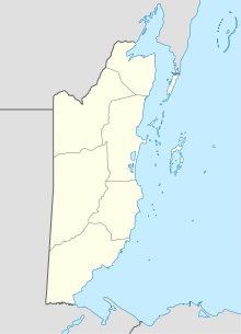
Sarteneja Airport (IATA: SJX, ICAO: MZSJ) is an airport serving Sarteneja, a town in the Corozal District in northern Belize. The airport is just east of the town, which is on Chetumal Bay.
Airlines and destinations
[edit]| Airlines | Destinations |
|---|---|
| Tropic Air | Belize City–Municipal, Corozal, San Pedro |
See also
[edit]References
[edit]- ^ Airport information for Sarteneja Airport at Great Circle Mapper.
External links
[edit]- WAC - Sarteneja Airport
- OurAirports - Sarteneja Airport
- Accident history for SJX at Aviation Safety Network
Licensed under CC BY-SA 3.0 | Source: https://en.wikipedia.org/wiki/Sarteneja_Airport7 views | Status: cached on December 30 2024 19:23:26↧ Download as ZWI file
 KSF
KSF