Kersey Upland
 From Wikipedia (De) - Reading time: 2 min
| Kersey Upland | ||
|---|---|---|
 | ||
| Staat: | ||
| Koordinaten | 52° 3′ N, 0° 54′ O | |
|
| ||
| Traditionelle Grafschaft | Suffolk | |
| Verwaltung | ||
| Landesteil | England | |
| Region | East of England | |
| Shire county | Suffolk | |
| District | Babergh | |
| Civil Parish | Kersey | |
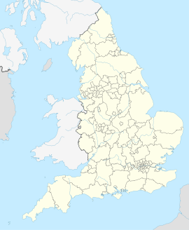
Kersey Upland ist ein Weiler in der Gemeinde Kersey, im District Babergh in der Grafschaft Suffolk, England.
Kersey Upland verfügt über 5 denkmalgeschützte Gebäude: Boxford Road Farmhouse,[1] Hart’s Cottage,[2] Sampson’s Hall,[3] The Forge[4] und West Sampson’s Hall.[5]
Einzelnachweise
[Bearbeiten | Quelltext bearbeiten]- ↑ https://britishlistedbuildings.co.uk/101351484-boxford-road-farmhouse-kersey
- ↑ https://britishlistedbuildings.co.uk/101037239-harts-cottage-kersey
- ↑ https://britishlistedbuildings.co.uk/101180386-sampsons-hall-kersey
- ↑ https://britishlistedbuildings.co.uk/101285487-the-forge-kersey
- ↑ https://britishlistedbuildings.co.uk/101037240-west-sampsons-hall-kersey
Licensed under CC BY-SA 3.0 | Source: https://de.wikipedia.org/wiki/Kersey_Upland18 views | Status: cached on April 12 2025 06:55:15↧ Download this article as ZWI file
 KSF
KSF