Kando (département)
 From Wikipedia (Fr) - Reading time: 2 min
| Kando | |||
| Administration | |||
|---|---|---|---|
| Pays | |||
| Région | Centre-Est | ||
| Province | Kouritenga | ||
| Statut | Département Commune rurale |
||
| Subdivisions | 22 villages | ||
| Chef-lieu | Kando | ||
| Conseillers municipaux Mandat |
44 (2012-) |
||
| Démographie | |||
| Population | 28 282 hab. (2006[1]) | ||
| Géographie | |||
| Coordonnées | 12° 19′ 37″ nord, 0° 29′ 52″ ouest | ||
| Divers | |||
| Fuseau horaire | UTC +0 | ||
| Indicatif téléphonique | +226
|
||
| Localisation | |||
 Carte des départements de la province Kouritenga | |||
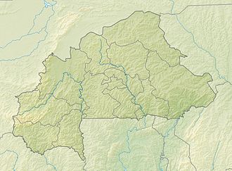
| Géolocalisation sur la carte : Burkina Faso
Géolocalisation sur la carte : Burkina Faso
| |||
| modifier |
|||
Kando est un département et une commune rurale du Burkina Faso, situé dans la province du Kouritenga et la région du Centre-Est. En 2012, le département comptait 28 282 habitants.
Villages
[modifier | modifier le code]Le département de Kando comprend un village chef-lieu (populations actualisées en 2006[1]) :
- Kando (2 596 habitants)
et 21 autres villages :
- Bagwokin (437 habitants)
- Bissiga (683 habitants)
- Bougrétenga (1 943 habitants)
- Guirgo (901 habitants)
- Hamidin (635 habitants)
- Ibga (1 695 habitants)
- Kampelsézougou (1 727 habitants)
- Kiongo (560 habitants)
- Kodé-Mendé (2 680 habitants)
- Lelkom (1 037 habitants)
- Mobèga (613 habitants)
- Nabnongomzougo (883 habitants)
- Néem (691 habitants)
- Nigui (1 587 habitants)
- Pissi (2 520 habitants)
- Poessin (545 habitants)
- Salagin (665 habitants)
- Soalga (4 538 habitants)
- Tankoemsé (446 habitants)
- Tansèga (683 habitants)
- Yargo (217 habitants)
Notes et références
[modifier | modifier le code]- [xls] Liste des villages du Burkina Faso - Recensement 2006 sur le site HDX–Open data Burkina Faso, consulté le 14 janvier 2019.
Licensed under CC BY-SA 3.0 | Source: https://fr.wikipedia.org/wiki/Kando_(département)23 views | Status: cached on August 10 2025 01:14:11↧ Download this article as ZWI file
 KSF
KSF

