New Year Island (Northern Territory)
 From Handwiki
 New Year Island | |
| Geography | |
|---|---|
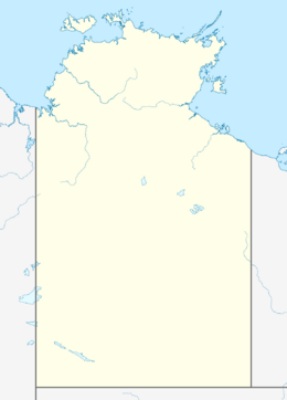
| Location | Arafura Sea |
| Coordinates | [ ⚑ ] : 10°54′29″S 133°01′52″E / 10.908°S 133.031°E |
| Administration | |
Australia | |
New Year Island is an low-lying, uninhabited island in the Arafura Sea. It is part of the Northern Territory of Australia, and is 294 km north-east of Darwin, and 50 km east of Croker Island. It is approximately 2 km long, and 800 metres wide.[1]
Like all islands in the Croker Group, New Year Island is Aboriginal freehold land, held by the Arnhem Land Aboriginal Land Trust.[2]
New Year Island is noteworthy in that a small rock 60 metres to its north is the northernmost land in the Northern Territory.[3]
See also
- List of islands of Australia
References
- ↑ "Mapcarta". http://mapcarta.com/16475174. Retrieved May 22, 2016.
- ↑ "Northern Territory Government: Sites of Conservation Significance". http://www.territorystories.nt.gov.au/bitstream/10070/254292/1/11_croker.pdf. Retrieved May 23, 2016.
- ↑ "Celebrate New Years Eve All Over Australia". http://www.australia.com/en-in/news/2015/october/celebrate-new-years-eve-all-over-australia.html. Retrieved August 8, 2017.
 |
↧ Download as ZWI file | Last modified: 06/02/2024 14:11:56 | 2 views
☰ Source: https://handwiki.org/wiki/Earth:New_Year_Island_(Northern_Territory) | License: CC BY-SA 3.0
✘
ZWI is not signed. [what is this?]
ZWI viewer
by the  KSF
KSF