New Hampshire (U.S. State)
 From Citizendium
 This article is about New Hampshire (U.S. state). For other uses of the term New Hampshire, please see New Hampshire (disambiguation).
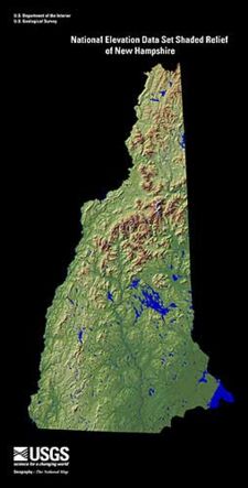
New Hampshire is one of the 13 original states that constituted the United States of America at the time of the American Revolution. It is located in New England at the extreme northeastern corner of the contiguous part of the U.S. It has an area of 9,279 square miles (24,032 square kilometers) and an estimated population of 1,315,809 (2008).
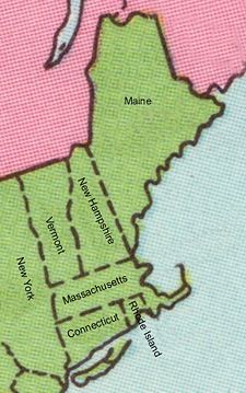
New Hampshire is bounded on the north by the Canadian province of Quebec, on the east by Maine and a 16-mile (25-kilometer) stretch of the Atlantic Ocean, on the south by Massachusetts, and on the west by Vermont.
The capital is Concord.
See also[edit]
Categories: [Suggestion Bot Tag]
↧ Download as ZWI file | Last modified: 09/25/2024 17:27:09 | 7 views
☰ Source: https://citizendium.org/wiki/New_Hampshire_(U.S._state) | License: CC BY-SA 3.0
✘
ZWI is not signed. [what is this?]


 KSF
KSF